
Exhibition at Edinburgh Castle explores personal stories behind WW2 maps
Between 1939 and 1945, more than 36 million photographs and 342 million maps were produced by the British Armed Forces.
These precious tools were vital in directing and devising escape plans for troops during the Second World War, but over the years their purpose has changed, and now they are military mementos and memories.
To treasure the personal stories behind these WW2 maps, the National War Museum in Edinburgh Castle is putting a selection of them on display.
The display was inspired by the painting, Major Robert W. Cairns MBE, TD, MA Father’s Memorabilia, North West Europe (1995), by Joyce W Cairns PPRSA.
Major Robert W. Cairns MBE served in various posts and locations during the war.
From 1943, he was responsible for organising the travel network for the movement of troops and supplies across the inadequate and congested roads of Northern Europe. The painting depicts the artist’s father’s memorabilia from the Second World War.
‘Cairns’ painting and the personal collections of other Second World War veterans inspired us to produce this display to examine the creation, use and reinterpretation of maps,’ said Julie Gibb, assistant curator of Science at National Museums Scotland.
‘Maps: Memories of the Second World War explores the purpose of a map as much more than just a physical or a functional object and reveals the stories of the people who kept these maps as a memory of a personal journey.’

F24 aerial camera with an five inch lens and hand grip mounting, used by the Royal Air Force for reconnaissance during WW2. Credit: Stewart Attwood
An unusual object featured in the display is a silk dress made from escape and evade maps used during the Second World War, on loan from Worthing Museum and Art Gallery.
Fabric maps were issued to pilots and Special Forces in the event that they were shot down, trapped behind enemy lines and needed to escape.
A British Army Officer is credited with the idea of printing escape maps on silk. Christopher Clayton Hutton, an inventor and MI9 British Army Officer, was inspired to use the material for maps as silk is waterproof, quiet to open and easy to hide or sew into clothing.
When the maps no longer served their original purpose, this valuable material was used to make clothing in an era of post war rationing.
MI9 (British Military Intelligence) employed Hutton and former magician Jasper Maskelyne to devise ingenious ways to smuggle maps, compasses, money and fake documentation into Prisoner of War camps.
Working with firms such as John Waddington & Co (makers of Monopoly), items were hidden in board games, playing cards and gramophone records. MI9 delivered parcels through bogus charities such as the ‘Prisoners Leisure Hours Fund’ with them hidden inside.
Edinburgh based cartography firm John Bartholomew & Son Ltd supplied paper copies and printing plates of their small-scale world maps to be used for the MI9 ‘escape and evasion’ maps.
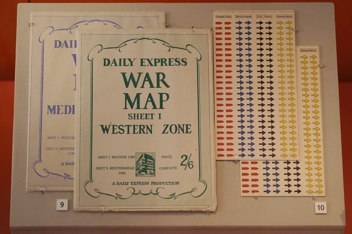
Daily Express war maps from 1944 and stickers. Credit: Stewart Attwood
The display also includes footage from the National Collection of Arial Photography and highlights the importance of aerial photography through items such as the logbook and photographs of Flight Lieutenant Thomas D MacMillan, and a stereoscope used to view images of the landscape below in 3D.
Maps: Memories of the Second World War is on display from 9 March to 25 Jan 2026.
Read more Culture stories here.
Subscribe to read the latest issue of Scottish Field.
Author
TAGS
FOLLOW US
