The most detailed map created so far of Culloden Battlefield is being shared by conservation charity, the National Trust for Scotland at events to mark the 275th anniversary of the battle.
The electronic maps use the latest Geographic Information Software and LIDAR (light detection and ranging) analysis that mean maps and information can be layered on top of each other. Take a look HERE.
This provides an unrivalled insight into the topography of the site of the battle and allows historians to consider the events of 16 April 1746 in a whole new light.
The maps were unveiled to the public for the first time at an online event on Saturday, as part of an online programme to commemorate the battle.
The Trust’s head of archaeology, Derek Alexander said: ‘These maps give us the most detailed understanding currently possible of how the landscape looked in 1746.
‘Thanks to 21st century technology, we can use these to get a feel for what soldiers on the battlefield would actually have been able to see of their opponents, their positions and their weaponry. In terms of understanding the tactics and the outcome, it’s a really powerful tool.’
The maps have been created by AOC Archaeology, and also include layers that show where archaeological excavations have happened over the years and the objects that have been found there.
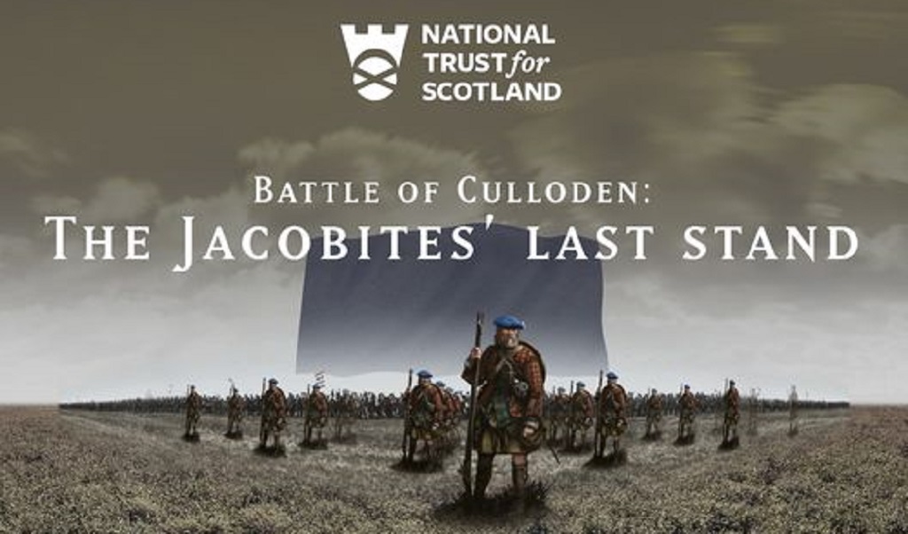
One of the newly created 3D maps of Culloden
Raoul Curtis-Machin, operations manager at Culloden said: ‘These maps aren’t just for the past, they’ll also help us to protect Culloden for the future. Their detailed information gives us a clear understanding of how the site has been altered through building and development over the centuries, all of which is invaluable as we strive to retain all that is special about this site that is of such significance to Scotland’s story.’
The battlefield is under greater threat than ever from developments, and there will be interactive debate and discussion about how it can be better protected through Culloden 300, a Trust initiative which seeks to establish how people would like the site to look in 2046, 300 years after the battle.
To help the conservation charity respond to the ongoing challenge of protecting and preserving the site of the UK’s last pitched battle, it is launching Culloden’s Fighting Fund HERE.
Raoul adds: ‘As a charity, we rely on voluntary income and a donation to Culloden’s Fighting Fund will help us conserve and protect the moor for future generations.’
On 16 April 1746, the final Jacobite Rising came to a brutal head in one of the most harrowing battles in British history. Jacobite supporters, seeking to restore the Stuart monarchy to the British thrones, gathered to fight the Duke of Cumberland’s government troops. It was the last pitched battle on British soil and, in less than an hour, around 1,600 men were slain – 1500 of them Jacobites.
Culloden Battlefield is accessible to local visitors in line with current Scottish Government restrictions. The visitor centre is planned to reopen on 30 April (restrictions permitting).
For more information on the battle, and the centre, Find out more about the full programme at www.nts.org.uk/culloden275
TAGS
FOLLOW US
